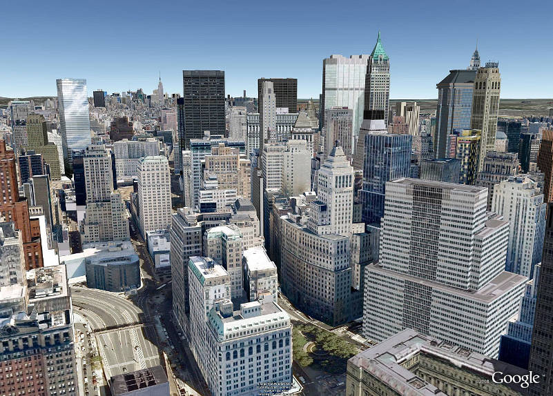
Google first revealed its future plans for Google Earth back in 2008, when it gave us a peek into the future direction of the service. Google was planning to turn Google Earth from a simple topographical mapping service to a full-on 3D world simulator. So first came realistic-looking structures (buildings), and now take a look at the spectacular detail.

Google’s first inclusion of buildings in Google Earth was basic, populating cities with approximately sized, colorless 3D models of most structures. After they made the shift to textured buildings, it took some time to reach anything near total coverage. Today, using what I can only assume is imagery from Street View, Google Earth’s photo-realistic buildings view takes you all the way down to the street, with beautifully resolved storefronts, and pedestrians frozen in place and time.
Although so far New York is the only city that’s been mapped with such wonderful detail, its only a matter of time before other cities are included. In the meantime, check out the Youtube video below and be dazzled.


![Read more about the article [Watch] FIFA WorldCup Foootball Free Live Streaming](https://thetechjournal.com/wp-content/uploads/2014/06/LiveWCFTTJ-512x250.jpg)