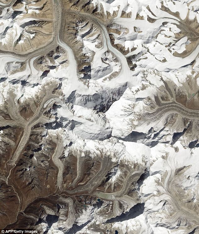
Mount Everest is the highest mountain of Earth, having a height of 8,848 m (29,029 ft). It is located in the Mahalangur section of the Himalayas. Lately, space agency NASA‘s Earth Observatory satellite has captured amazing image of this highest mountain of the Earth from space.

Mount Everest is one of 14 mountain peaks on Earth that stand taller than 26,000 ft (8,000 m) and the local Nepalese name for it is Sagarmatha, which means ‘mother of the universe.’ Its southeastern ridge is most widely used as climbing route. However, last month, NASA’s Earth Observatory satellite captured the above aerial view of Mount Everest’s peak from space. In this above image, you can see the Mount Everest’s snow-covered peaks in stark contrast against the brown and barren landscape.
Source: Daily Mail
[ttjad keyword=”camera-general”]


![Read more about the article [Video] DARPA Testing Folding Space Telescope MOIRE](https://thetechjournal.com/wp-content/uploads/2013/12/MOIRE-512x321.jpg)