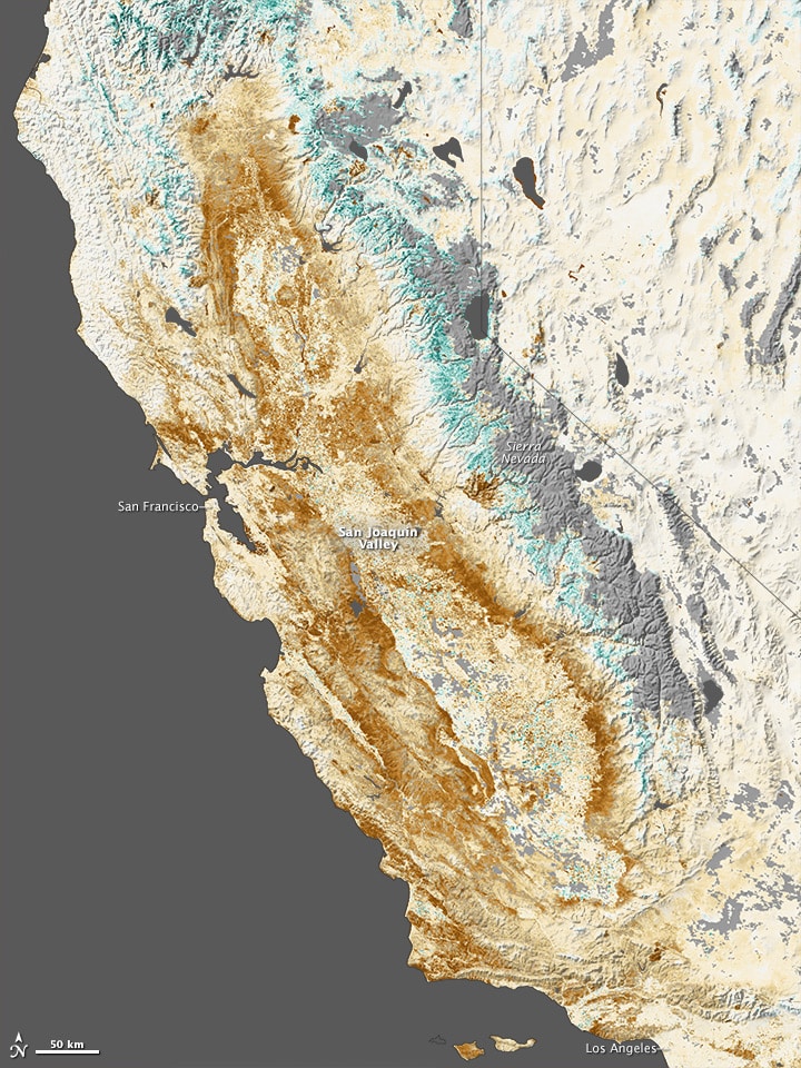
Since late fall of 2013, California has been experiencing a terrible drought that turned much of the state into a wasteland. So, space agency NASA is now using its satellites to track California’s terrible drought.
One composite image released by the California Department of Water Resources dramatically shows that the Folsom Lake reservoir near Sacramento in July 2011 was 97% of its total capacity and in January 2014 image, it came down to 17%. The situation is similar in other parts of California as well. This has caused stress for farmers, state officials, and the federal government, which has lined up aid packages and legislation to bolster drought-related relief. Therefore, California’s Department of Water Resources and NASA are now partnering to track weather and geological features, part of an effort to gain more insight into the state’s weather patterns, and possibly its future.
Recently, the two groups have announced a plan to work together using satellites and airplanes to evaluate when storms will hit, as well as to measure existing snowpack and groundwater levels. Right now, 13 of NASA’s satellites track water on the Earth. In addition, four more satellites will be launched in the next seven years. One of those launches will take place in a week in collaboration with the Japan Aerospace Exploration Agency for tracking both rain and snowfall worldwide.
That satellites will keep an eye on California’s delta levees and unused farmlands from above. Besides, they’ll also estimate how much water agricultural crops will be needed if any drought takes place in future.
[ttjad keyword=”chrome-laptop”]


