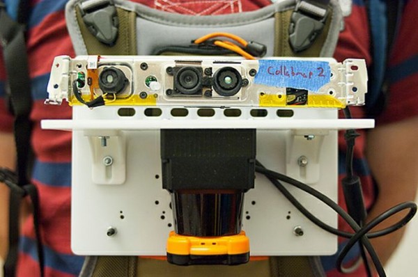
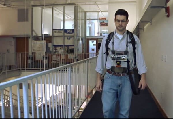
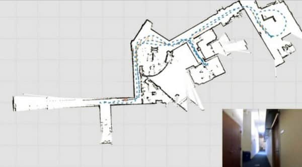
Computer scientists at the Massachusetts Institute of Technology (MIT) claim that they’ve built a wearable piece of gear called SLAM (Simultaneous Localisation and Mapping) that can map a building in real time with the aid of a Microsoft Kinect, a laser range finder and a laptop. It is specially being created for firefighters and other first responders reacting to an emergency.
According to MIT computer scientists, in the SLAM prototype, the processor is a laptop. It will be in the user’s backpack. But in the final product, it will be a handheld unit.
There is an on-board laser that scans the entire building at a 270-degree arc with a laser range finder. The Kinect collects the information including depth and visual data and sends it to the laptop to create the map in real time. Other responders will study the data and come to know exactly where they need to go.
As the system can detect a user’s motion, therefore it can create multi-floor maps when it senses activity on a staircase or elevator. Kinect’s camera can also determine whether a user has already reached to his/her particular location or not. If any mistakes occur, then the user can go back to his/her previous position.
The prototype SLAM has received fund from the US Air Force and the Office of Naval Research. To know more, head over to MIT.
Source : MIT
Thanks To : TechTrunch, ZDNet
[ttjad keyword=”camcorders”]


