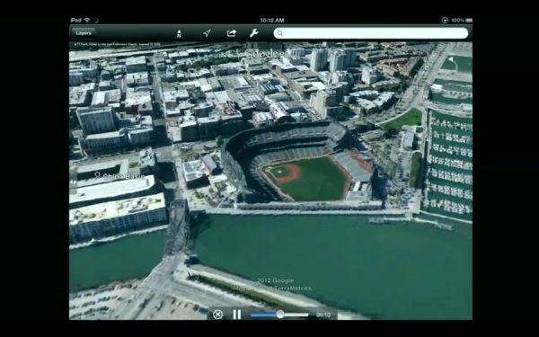
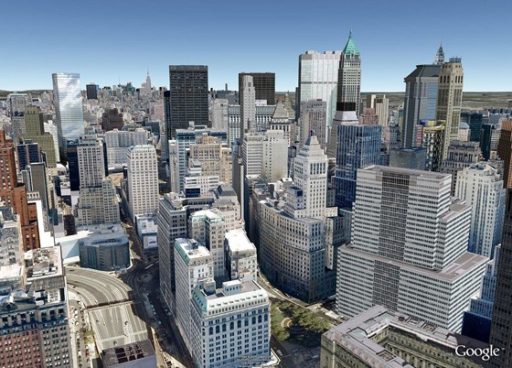
We have long been hearing that Google is working on a 3D version of its mapping service, Google Earth. And now, the search giant has finally unveiled a fully 3D version of Google Earth. While we will have to wait to finally use and see how awesome it is, the bit that has been unveiled by Google sounds very promising.
The 3D version of Google Earth is truly mesmerizing. It allows the users to navigate the maps by rotating, moving around and interacting with the 3D images. In a way, it seems very real. In the words of the product manager for Google Earth, Peter Birch, “We’re trying to create magic here. It creates the illusion you’re flying over the city.”
Although eventually, Google has plans of globally implementing the 3D version of its maps, for now, the aim of the company is to cover the locations of 300 million people by the end of 2012.
It seems that the company is investing heavily into compiling a 3D rendering of its maps. For this, Google is reportedly having images of cities taken from planes and then rendered into 3D images using automated technology. According to Birch, Google has been working on 3D maps for quite some time and had been wanting to ship out a 3D version of Google Earth but that so far, the quality of Google Earth hadn’t been high enough to allow this until now.
While there are some other smaller ventures trying to roll out 3D maps, none of them are so visually awesome as Google’s 3D Google Earth seems to be. For now, the service will be available on Android as well as iOS for a limited number of cities.
Source: The Verge
[ttjad keyword=”all-in-one-desktops”]


